Friday, August 18, 2017

Typographic Landscape Ecologies Alameda, California, USA (37.765627,-122.239078) in 2017 "Secret City" Festival Exhibition


presented by AIASF and the Center for Architecture + Design San Francisco

OPENING RECEPTION
Tuesday, August 22 | 6 PM - 9 PM

ON DISPLAY THROUGH NOVEMBER 17, 10 AM - 5 PM
AIA San Francisco Gallery, 130 Sutter Street, Suite 600, San Francisco
Suggested Donation: AIA Member: $5; General: $10

Monday, June 5, 2017

In the gate: Typographic Landscape Ecologies: Alameda, California, USA

Over the course of the next few months, I will be doing field research and developing a platform for the continuation of the ongoing project Typographic Landscape Ecologies which documents, maps, and visualizes typographic artifacts in the urban landscape as a way to explore cultural forces in the constructed world. I will be using a small area in Alameda California to develop a format prototype and to explore new experimental procedures.

Titled Typographic Landscape Ecologies: Alameda, California, USA it will be exhibited in "Project Anywhere "a global blind peer reviewed exhibition program dedicated to promoting art and artistic research at the outermost limits of location-specificity."

Joshua Singer “Center & Periphery & Flows in Maracanã (detail), 2015. Still image of georeferenced photos and 3D models in Google Earth. Virtual landscape of the Maracanã neighborhood of Rio de Janeiro, Brasil containing geolocated typographic artifacts and dimensional semiotic indicators.


Saturday, April 1, 2017

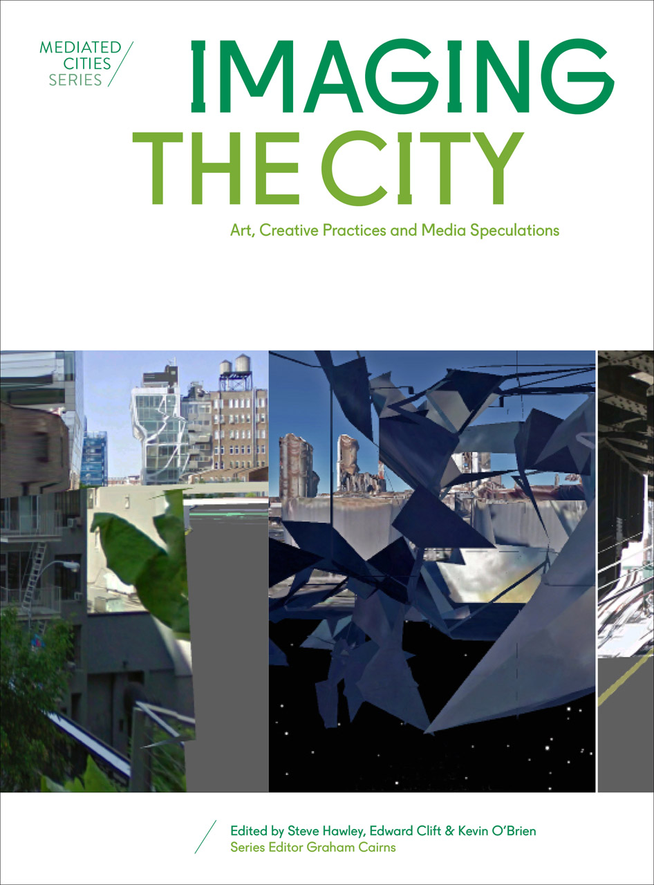
Imaging the City Art, Creative Practices and Media Speculations

Somewhat late news, but the book is indeed now available with my somewhat stream-of-consciousness piece A city of grids and algorithms and soundtracks in cars and planes and glass. Very excited to be part of such an interesting, and I believe intellectually important, approach to media and landscape studies.

"Imaging the City brings together the work of designers, artists, dancers, and media specialists who cross the borders of design and artistic practices to investigate how we perceive the city; how we imagine it; how we experience it; and how we might better design it. Breaking disciplinary boundaries, editors Steve Hawley, Edward Clift, and Kevin O’Brien provocatively open up the field of urban analysis and thought to the perspectives of creative professionals from non-urban disciplines. With a cast of contributors from across the globe, Imaging the City offers international insight for engaging with—and forecasting the future for—our cities."

Publisher: Intellect, The University of Chicago Press.


Thursday, October 27, 2016

Different Data Workshop at AIGA DEC "Frontier"

In beautiful Bozeman Different Data hosted the workshop "Illegitimate Worlds" at the Design Educators Conference "Frontier"

We started with the premise that “… ‘illegitimate', imprecise, but approximate translation is one of the most important features of any creative thinking. For these 'illegitimate' associations provoke new semantic connections and give rise to texts that are in principle new ones." (Y. Lotman, Universe of the Mind: A Semiotic Theory of Culture, 2000)


Thursday, June 16, 2016

The book is out

Well, not exactly. It's been announced, but isn't yet available. The word is it will be in July. And, it's not my book - just a book I'm in. But I think that it's all still pretty exciting.

"Imaging the City: Art, Creative Practices and Media Speculations" contains my strange little piece "A city of grids and algorithms and soundtracks in cars and planes and glass". Put out by the very fine folks at AMPS.

Friday, June 3, 2016

And Now Nor Something Completely Different: The Flux Family Font

It's not a geographic experiment exactly, although it started from a project regarding the San Joaquin Valley here in California. So maybe.

Expected completion date: Late 2024.


Monday, May 30, 2016

Interchangeable City Surface Modules of Detroit and Stockholm 04.3 @ In_Sight On_Site: Beyond Function @ the American Institute of Architects, San Francisco Chapter

An exhibit at the American Institute of Architects, San Francisco Chapter. As they say, it's "an opportunity for architects and designers to showcase their talents beyond their design concepts for the built environment. Through this curated exhibition, AIASF aims to highlight the richness and diversity of the local interdisciplinary design community." With:

Paul Baird, Carol Inez Charney, Morgan Conolly, Mary Anne Cradeur, Mallory Scott Cusenbery, Thom Faulders, Future Cities Lab, Adam Marcus, Marmol Radziner, Jeremy Mende, Topaze Moore, Daniel Morago, Chris Naughton, Max Pierson, Brian Singer, Joshua Singer, Steven Steinberg, Monica Tiulescu, Clark Thenhaus, Mahsa Vanaki, Sherry Williamson, Daniel Winterich.


Friday, April 15, 2016

"Maps, Tape, Video, Paper: Design as Performance & Performance as Discourse" Different Data presentation at VCUarts!

The Different Data Group had the opportunity to visit VCUarts hosted by the Department of Graphic Design (shout out David Shields) in remarkably fabulous Richmond VA. On Thursday April 7 gave the lecture "Maps, Tape, Video, Paper: Design as Performance & Performance as Discourse", at the beautiful VCUarts Depot where we discussed examples of our projects in Detroit and Stockholm and elaborated on our interests, including, but not limited to: counter-design methodologies; data as narrative; narrative as method; method as design; design as performance; performance as discourse; collaboration’s  joys, pitfalls and pratfalls; the pratfalls associated with the word critical; criticality as a counter-design methodology.

The next day we visited the senior Gdes class co-taught by Nicole Killian and Lauren Thorson and gave some questionable advice to the students frantically working to finish their senior projects.

Great program and great people. We are very glad to have had the opportunity.

Hey, that's a lot of people.

Monday, March 7, 2016

“Creating Landscape Fictions as Narrative in Digital Space: The ‘Interchangeable City Surface Modules of Detroit and Stockholm’” at 10th Annual Indiana University Landscape, Space, and Place Conference

A presentation of the video "Interchangeable City Surface Modules 04-2" at the small yet mighty Indiana University Landscape, Space, and Place Conference.

The video was created in its first version as part of an exhibition installation at Nordes 2015. This project hacks representations of geographic space constructing new (and impossible) landscapes that question perceptions of time and space and ask that we consider how a map is a landscape and how a landscape is many places and times. The video integrates and layers historical maps and 3D models to create a virtual and conceptual landscape that shapes an urban space as semiotic, diachronic, and diageographic. It is a landscape of two cities, connected through structural (in the formal not physical sense) mechanisms and are ultimately interchangeable via certain nodes and attractors. The video continues to evolve into new forms creating systems by which the two cities are inextricably interconnected.

It is a continuous work in progress.


Scene from Interchangeable City Surface Modules 04-2 from Joshua Singer on Vimeo.

Friday, August 7, 2015

NOPLACELAND of NOQUO of DesignInquiry 2015

My contribution (remotely, I'm afraid) to DesignInquiry's collaborative project NOQUO on the island of Vinalhaven, Maine.

My project is a story (about an island that is actually many islands all occupying the same place (with images and maps)), that is really about making stuff and how the place in the story and maps is really connected to other people and places and times and how we tend not to see that because we are really very committed to the way the world appears to us.

Really.

The final outcome is a small publication, yet to be printed, but can be viewed here.


Monday, August 3, 2015

Presentation and workshop at "Mapping Ephemeralities / Ephemeral Cartographies", Rio de Janeiro

I will be presenting my projects "Ad Hoc Atlas" and "Typographic Typologies" and conducting a small workshop at "Mapping Ephemeralities / Ephemeral Cartographies", The International Cartographic Association commissions on Art & Cartography and on Maps and Society, Rio de Janeiro, Brazil. August 2015. 

My proposed project is to share my theoretical research into the construction of urban space through graphic semiotic functions as well as two ongoing investigations which serve both as vehicles for the theoretical work and examples of how the method of mapping can be used as a critical narrative.

"Typographic Typologies Detroit: Node 1, Midtown", 2014.
"Typographic Typologies Detroit: Node 2, Corktown", 2014.
"Typographic Typologies Detroit: Node 3, Dabl's Gallery", 2014.

Wednesday, July 8, 2015

Ad Hoc Atlas: Volume Two, Version One: Montréal and Berlin at Center for Book Arts, NYC

The "Ad Hoc Atlas: Volume Two, Version One: Montréal and Berlin" is included in the exhibition "/mit ðə detə/: Source Materials Visualized" at The Center for Book Arts in NYC from 8 July – 19 September, 2015. The exhibition "presents artists’ books, book-related artworks, and text-based new media that are visual interpretations, extrapolations, and recontextualizations of researched source materials such as data analysis, surveying, mapping, plotting, data mining, statistics, analytics, observations, and schemes. In keeping with the theme, the exhibition title includes the phrase “Meet the data” rendered phonetically. The exhibition features artist members of the Center as well as invited artists to further the discourse of the exhibition’s theme."

A reading of the psychic landscape of Montréal.

Sunday, June 28, 2015

Different Data on the radio!

Rachele Riley and I were interviewed on EuDesignRadio at the conference Cumulus Milan 2015: The Virtuous Circle in Milan on June 6. We talk about the project and some related things and then play the Fuzzy Box game!

Thursday, June 18, 2015

NOQUO Island (DesignInquiry): the project starts

The beginnings of a project with DesignInquiry as part of their project "NO QUO" June 14–20, 2015, in Vinalhaven, ME.

There will be more developed over the coming months. Stay tuned.

This project is the construction of a story about an island that is actually many islands all occupying the same place, space, and time that is many places, spaces, and times.  (The story is really about making stuff and how the place in the story and maps is really connected to other people and places and times and how we tend not to see that because we are really very committed to the way the world appears to us. A story is just another way of explaining something, a fiction that is really something about the real. Design is not comfortable with fictions, but there is a grand tradition of this from the likes of Superstudio, Archigram, Fluxus, John Hearfield, Dunne and Raby, Metahaven … This is a short list. It must be longer, deeper, richer, dumber, more beautiful, harder, tastier …)

The islands are Vinalhaven, Alameda (where I am currently), Thomas Moore’s Utopia, and Fluxcity (AKA Ginger Island) - an island nearly bought by George Maciunas in 1969.

I am providing a collection of stories about the island that is really many islands that in the end is really only one story. The story is told through words, images, and maps. The story will be updated over the course of the inquiry.

The first story is a hack Yuri Lotman's chapter “The Symbolism of Saint Petersburg” from his book “Universe of the Mind.” In this hack cities are now islands and major references are transposed to Vinalhaven Maine. This is one layer or fragment of the master story of the composite island. While this is specific to Vinalhaven, it can be shared with the other islands.

Base map for exploring the island

Marty

The Fortress

Monday, June 15, 2015

Different Data Detroit (+Stockholm) at Nordes

The latest iteration of Different Data - Different Data Detroit (+Stockholm) at NORDES 2015: Design Ecologies, Stockholm, Sweden (June 7–10, 2015.) With Rachele Riley and Dan McCafferty.

"For Nordes 2015, we will bring the outcomes of our work in Detroit (with DesignInquiry at MOCAD) to Stockholm and merge these two ecologies on the walls of the exhibition space over the course of the conference. We propose that the discursive relationship between these two cities is nascent and  probable, on various levels. There are connections that we can presuppose (structure, form, system, mythology) and those that can only be realized through discovery. These connections must surely run deep, even if they are forced by our subjective measurements and if only as action (which is enough). They are hypotheses that remain to be realized. In keeping with the methods of Different Data, the Detroit (+Stockholm) project will  be both methodical and poetic, creating a link and a layering of the two cities in both factual and speculative comparisons."

View the project description

Networking and checking in with the mothership.

Checking the data.

Monday, June 8, 2015

Different Data Detroit: Presentation at Cumulus 2015, Milan

Rachele Riley and I presented our paper “Different Data: Experimental Design Research for Mapping Cities” at Cumulus Milan 2015: The Virtuous Circle as part of a panel on Experimenting/Prototyping to discuss our approach to and consideration of ‘different data’ and critical design. The paper reviews the project Different Data in its first installation at the Museum of Contemporary Art Detroit (MOCAD) during a three month residency with DesignInquiry. The project was done in collaboration with Patricio Davila, and Dan McCafferty. Our paper will be included in the proceedings and published by McGraw-Hill Education.


Detail of Different Data Detroit installation at MOCAD, October 2014. 
View of installation in progress of Different Data Detroit at MOCAD, December 2014. 
Video still from Different Data Detroit, in collaboration with Rachele Riley.

Wednesday, December 17, 2014

Intrepid, the video


intrepid from Joshua Singer on Vimeo.

A tour through a Detroit landscape. This is the result of research of the graphic cultural landscape of the D and basis for various components of Different Data with Patricio DavilaDan McCafferty, and Rachele Riley as part of the DesignInquiry residency at MOCAD.

Saturday, November 29, 2014

Sketchup and Google Earth tests

Revising the video I made of the Dérive that Chris Fox and I took during the DesignInquiry/DesignCity/Detroit inquiry this past February. Taking the geolacated images from that overlay the GPS track of the journey and adding them as skins to large screens that will hover over the Detroit landscape of present and 1872. The movie will still be a Google Earth tour flyover, as in the original, but with these large images taken through the windshield of Chirs' car. Working title for the video is appropriately "Intrepid."


Sunday, November 2, 2014

Field research in Detroit

Documentation of typographic artifacts in the urban landscape as part of DesignInquiry's Fall 2104 residency at MOCAD.

All cities (and all places that humans inhabit) are marked with language and specifically the word. The way these words are styled, the messages the letterforms speak by way of their form, signify forces in the urban landscape. These styles are types. Typologies of letterforms. What they say, and where they say it might tell us something about the city and the forces and agents at play. This has been an experiment that might reveal something about the shifting cultural and economic landscape of Detroit (in some cases specifically gentrification.)

Cutting and sorting. 

Organizing typologies.

Organized typologies with reference map.

Detail: typologies organized by aesthetic values and color coded by region.


The images can be viewed in location here.